Take the road in the direction of Valle di Blenio and once in Malvaglia, enter the Pontirone Valley and continue to Biborgh (1313 m).
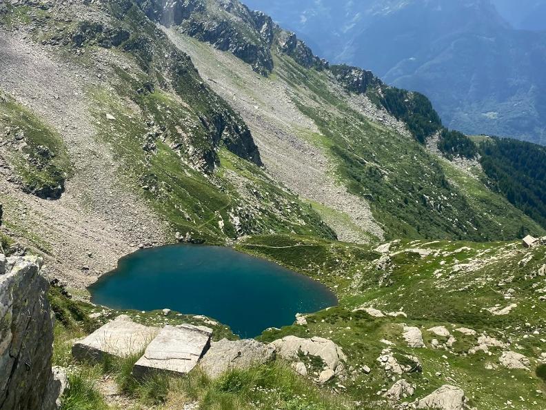
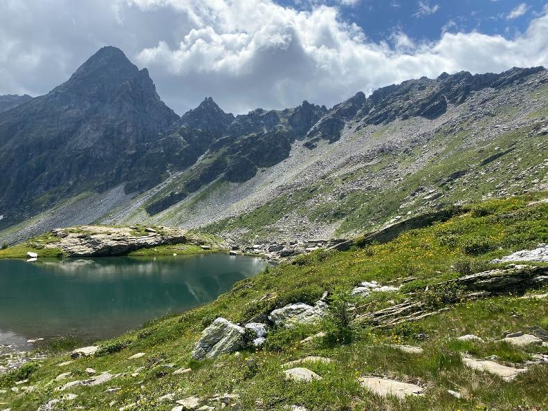
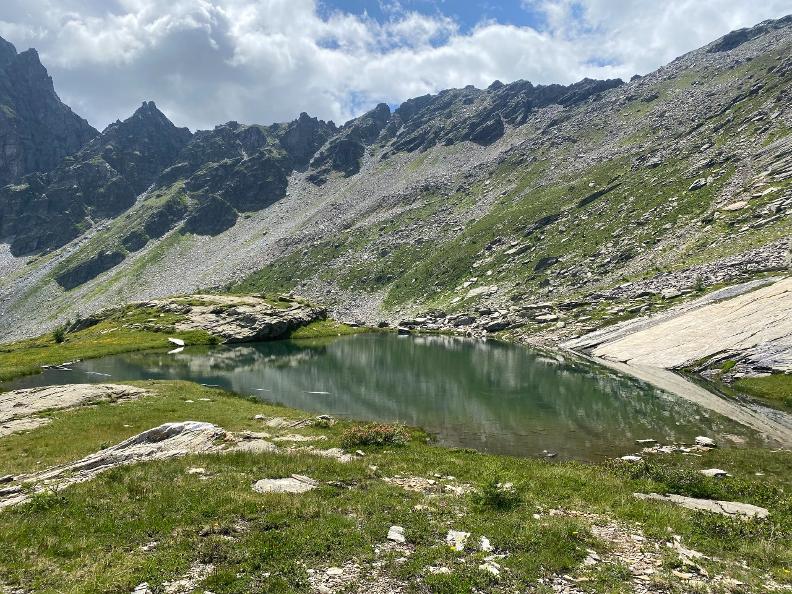
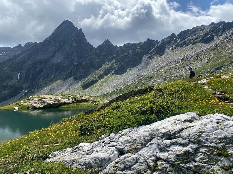
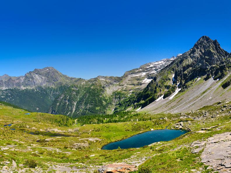
From here the path leads to the small lakes. It is possible to reach Alpe di Sceng (1548 m), the first stage of the route, by car. However, it is advisable to take the footpath that climbs to the left immediately after the Sceng bridge. From Sceng, it takes three hours to get to Alpe di Cava (2005 m) and then to the small lakes (2051 and 2107 m), covering a difference in altitude of 794 m. Continue to Forcarella di Lago (2256 m) and finally to the Alpe di Lago lake (2089 m).
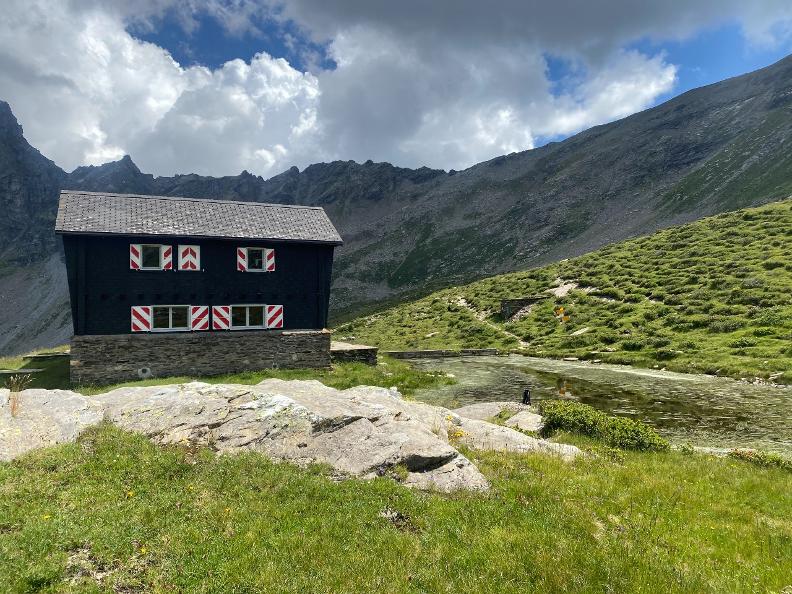
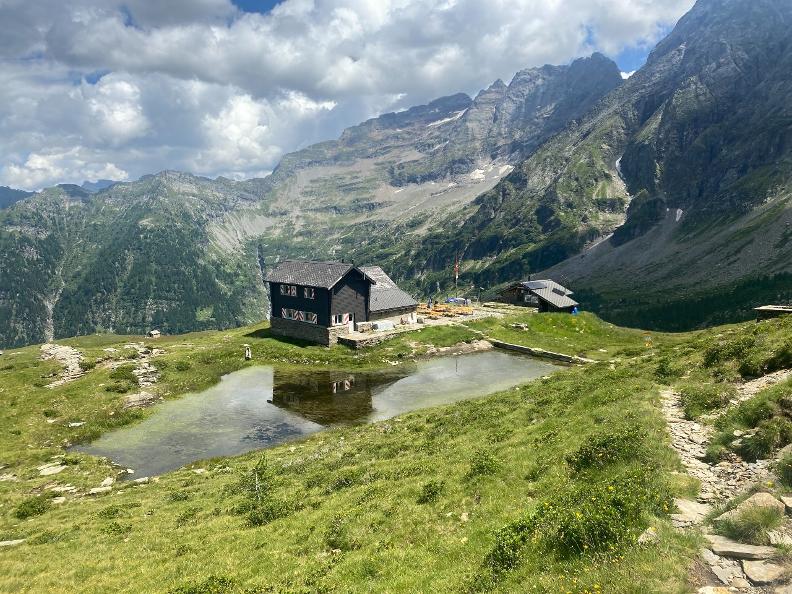
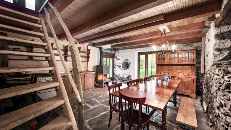
Above Alpe di Cava there is a hut of the same name (2069 m). Alpe di Lago also has a hut.
As an alternative to the proposed route, it is also possible to reach the lakes by leaving directly from Via Svallo in Biasca; 5 hours by carriage road to Monte Sasso Carnone (533 m), or via Forcarella di Lago; also 5 hours by carriage road to Monte Fraccione (600 m). However, some stretches are challenging.
Features
- NATURE Alpine lakes
