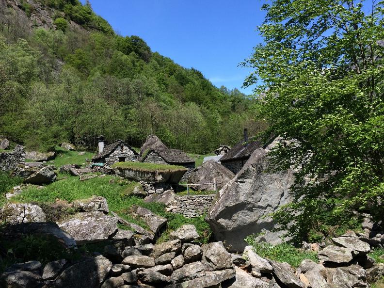
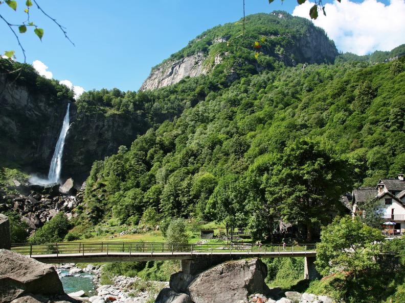
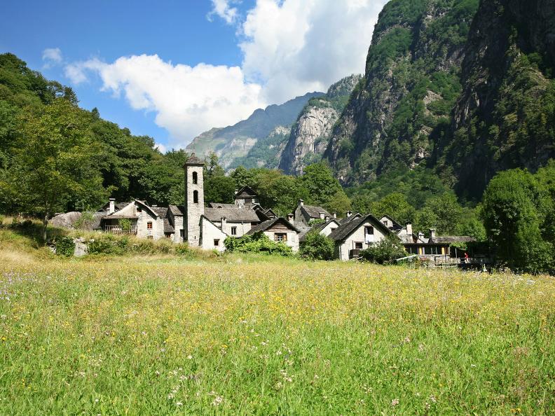
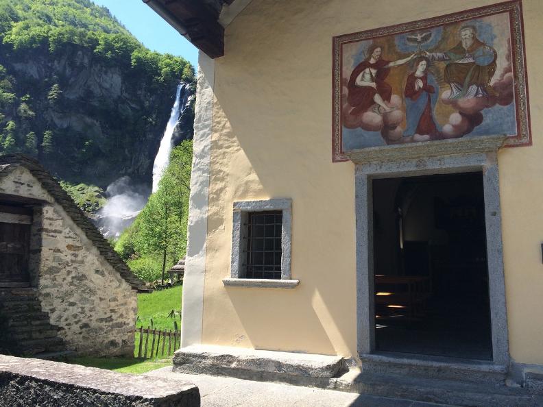
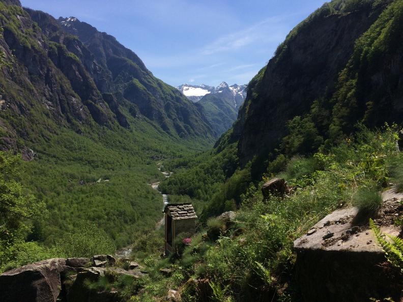
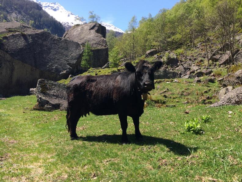
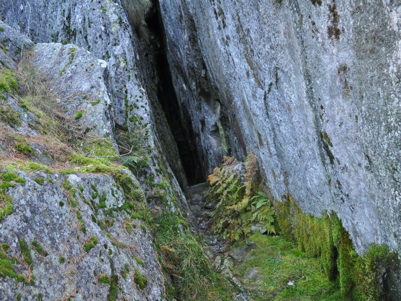
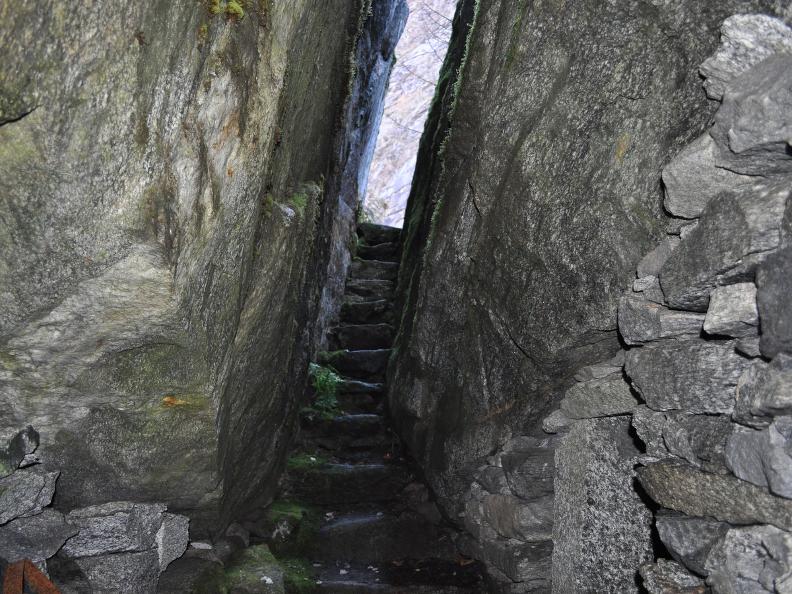
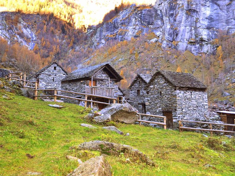
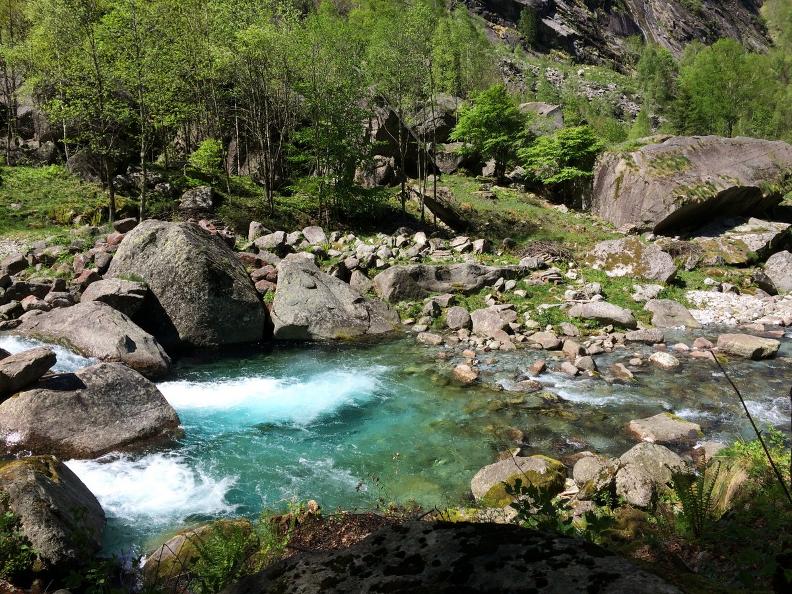
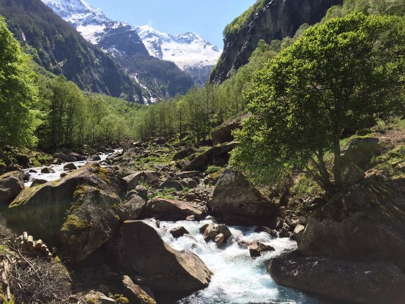
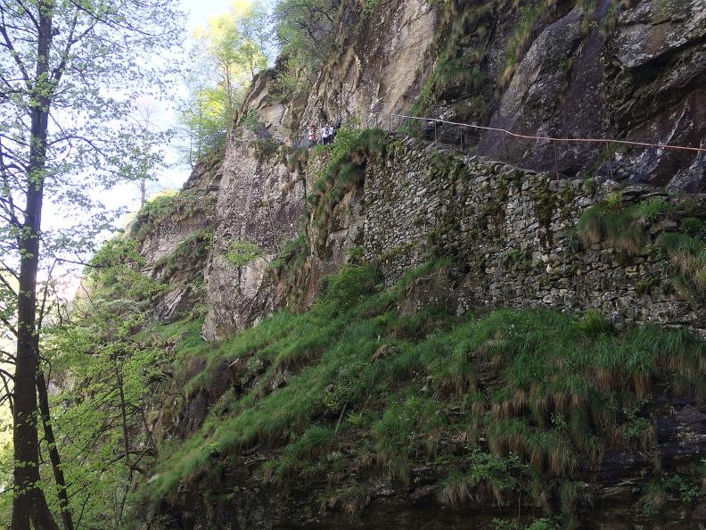
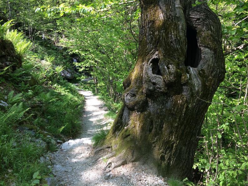
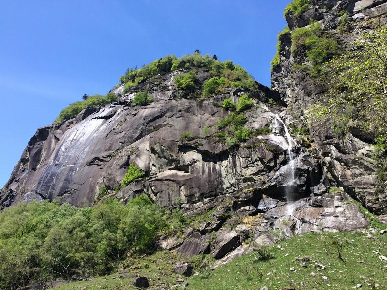
Follow an ancient migratory herding route and be amazed by the unique landscape of a sunny valley. Having reached the top of a majestic waterfall, you will find yourself overlooking a panorama of piles of stones and boulders scattered amongst the valley’s meadows and woods. Human ingenuity has seen these rocks skilfully put to use as natural shelters, stables and cellars, which, along with the river’s canyons and rapids, form a unique, enchanting canvas framed by tall rock walls.
The Calnègia Valley widens above Foroglio where the mountains have been shaped by one cataclysm after another. The ascent along this valley should be approximately 3km but the difference in altitude is only 200m. Since inaccessible peaks surround the valley, there is hardly any sunshine during the winter months.
The three fallows that need to be crossed however are evidence of intense activity.
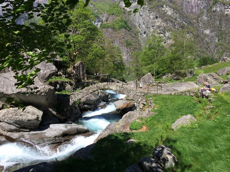
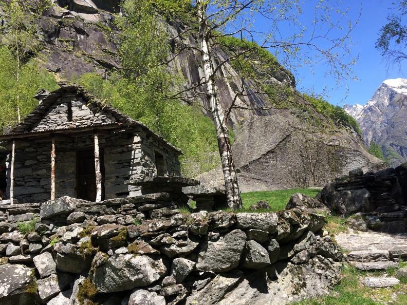
The first of these, Puntid, situated just a little after the beautiful gorge, with its neatly cut grass, inviting huts and elegant bridge.
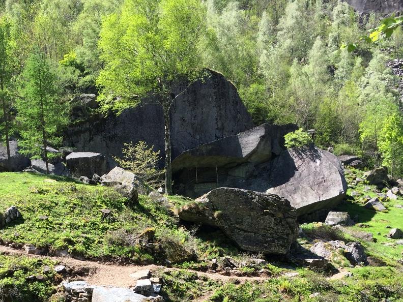
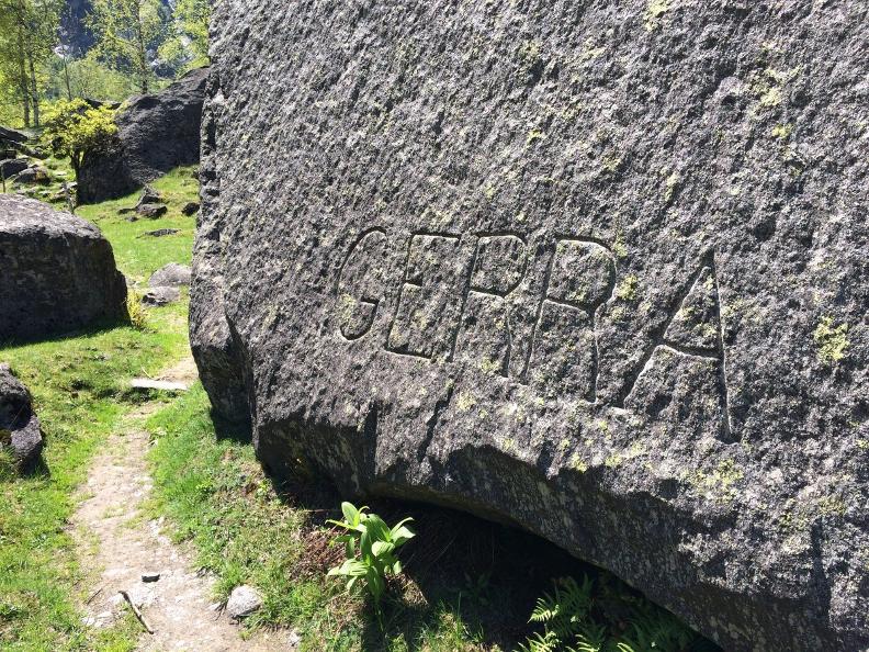
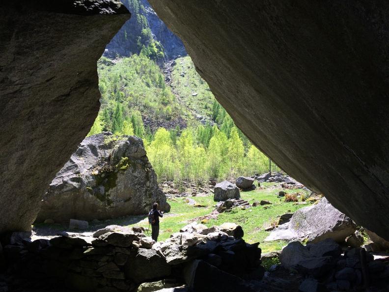
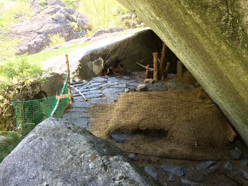
The second, Gerra, which owes its name to the extensive flood zone, stone is without doubt the dominating material. Cave-like dwellings have been dug out from beneath the rocks here and used as storage space for dairy products as well as for seeking shelter from the heat.
Numerous cellars have been created beneath the boulders in the last one, Calneggia, as well.
Tips
To explore the route, we recommend buying the official maps of the Federal Office of Topography Swisstopo. In addition, the following website map.geo.admin.ch offers constantly updated data.
- Hiking boots
- Sun cap
- Water-bottle
- Sunglasses
- Sun cream
- Hiking map
- Camera
- Food
Montagnepulite: This project was born to promote an effective management and sustainable use of mountain huts in Ticino, and in particular the litter management. The responsible management of litter in the mountains is a matter of common sense. We can all contribute: https://www.montagnepulite.ch/en/golden-rules
Alternative routes
-
