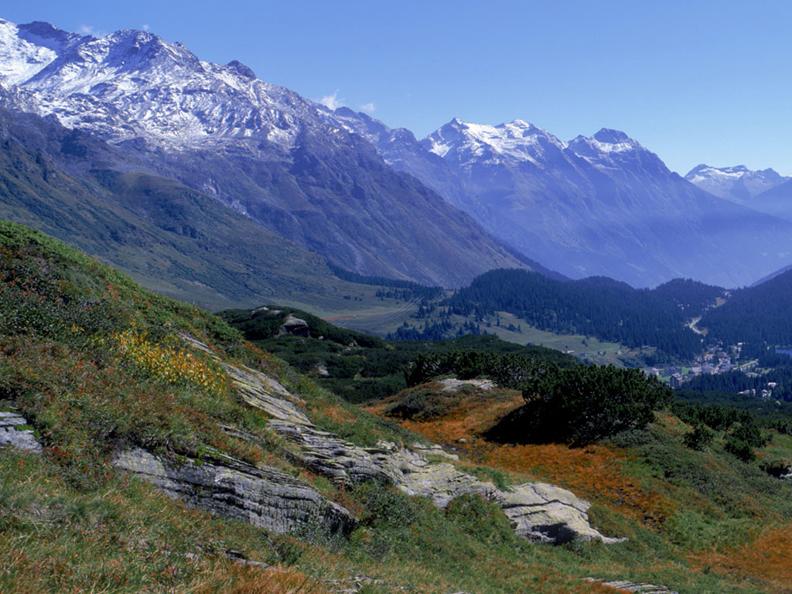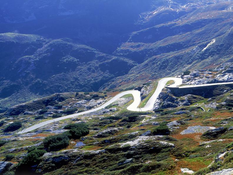
The Northern base of the San Bernardino route is the Grisnons cantonal capital of Chur, the oldest city in Switzerland. After Reichenau the A13 runs through the Domleschg valley, the region with the highest castles density in Europe – which was a strategic point of reference in the Middle Ages for the Alps.
The Bernardino Pass has been in use since Roman times. The main difficulty was not the pass itself but the tricky route through the 300 m deep Rhine gorge between Thusis and Zillis, which does not bear the name Via Mala ("Bad Road") for no reason.
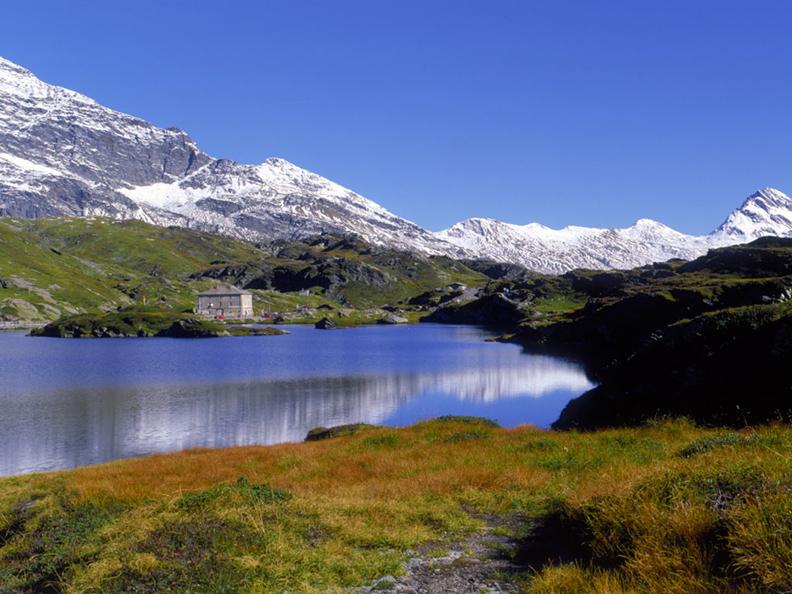
To get to the San Bernardino Pass follow the main road from Chur via Thusis, through the valley of the Posterior Rhine (Hinterrhein) and the Grisons holiday region of Splügen/Rheinwald to Hinterrhein. The mountain pass goes over a high, mysterious moor with sparkling pools and polished glacial rocks up to summit at 2065 m. s. l.
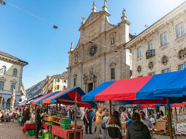
On the southern side man speak Italian, even if it is still Grisons Region, where the main language is Romansh. From San Bernardino there are 50 kilometres to Ticino’s capital, Bellinzona, with the three majestic UNESCO castles. The A13 (from San Bernardino) meets the A2 (from Gotthard) a just few kilometres north from Bellinzona.
San Bernardino Pass
Altitude: 2065 m.s.l.
Region: Grisons
Talorte: Hinterrhein and San Bernardino
Built: 1823
Max. gradient: 9,7%
Winter closing: December - April / Tunnel A13 open all year long
