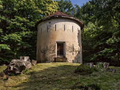
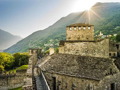
The village
Climbing up the Blenio Valley from Biasca, you reach Olivone, at the foot of the Lucomagno pass. Once you have left Olivone and crossed the Töira tunnel, you arrive in the wide basin of the Soprassosto, where the villages of Campo Blenio and Ghirone are located.
Campo Blenio lies at the beginning of a side valley facing east-west. Its cultivable lands are located between an altitude of 1200 and 1580 m a.s.l. while pastures are from 1500 to 2400 m a.s.l.
The village of Campo, located at 1216 m a.s.l., is in front of Ghirone, another small village made up of three hamlets, from where the Greina path starts. Woods, pastures and Alps of Campo Blenio, are part of the patrician general of Olivone, Campo and Largario. The municipal territory borders: to the east with Olivone; to the east south-east with Ghirone; to the north with the Canton of Graubünden, in particular with the municipality of Medel; to the west and south with Olivone. The municipal territory extends over 2206 ha.
Summer destination
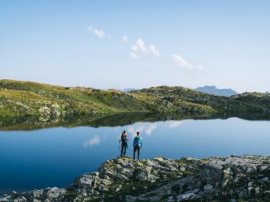
Both in winter and especially in summer, Campo Blenio is an excellent base camp that offers a myriad of opportunities to discover small, big worlds in the surroundings that in their small way prove to be varied and worthy of note.
Locations:
Ghirone
Terri
Must
Adula or Rheinwaldhorn
Camadra Medels
Valley of Campo
Lake and dam of Luzzone
Greina
Summer activities:
Excursions
Mountainbike
Climbing
Grills
Outdoor cinema
Green Week
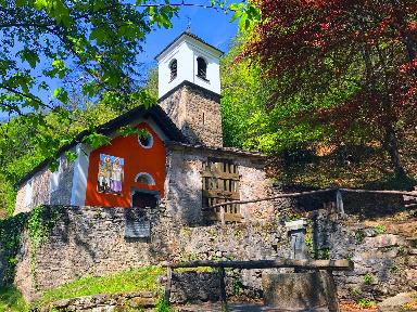
Alpine huts:
Bovarina
Ladder
Adula
Terri
Dötra
Michela (or Motterascio)