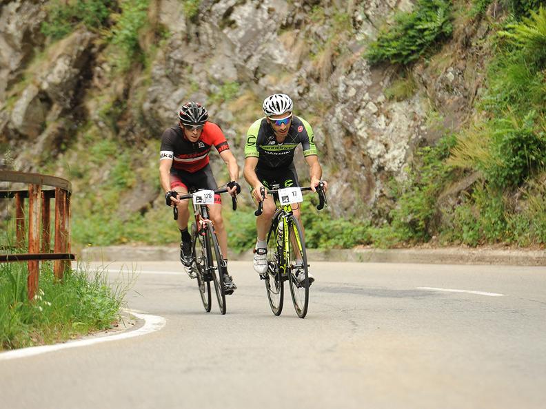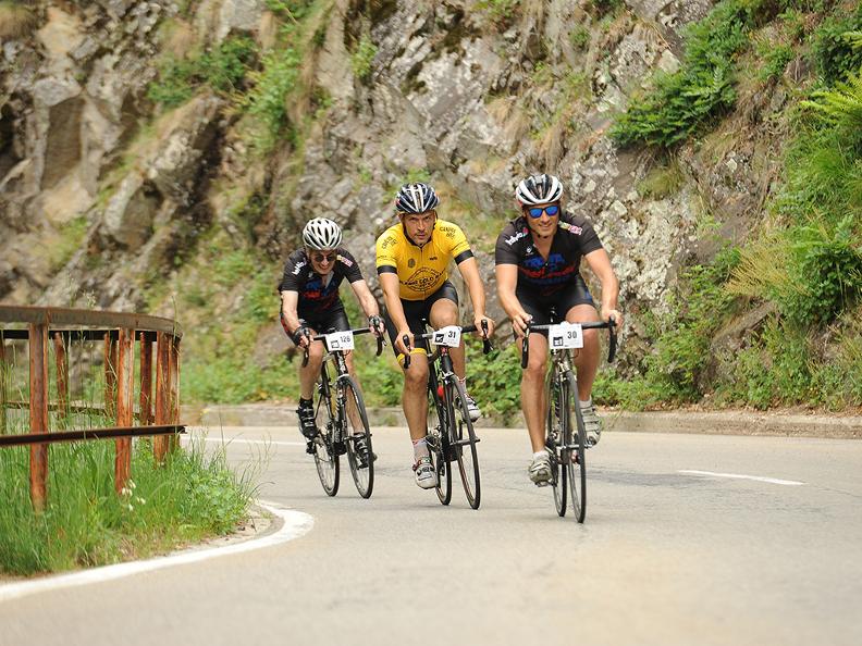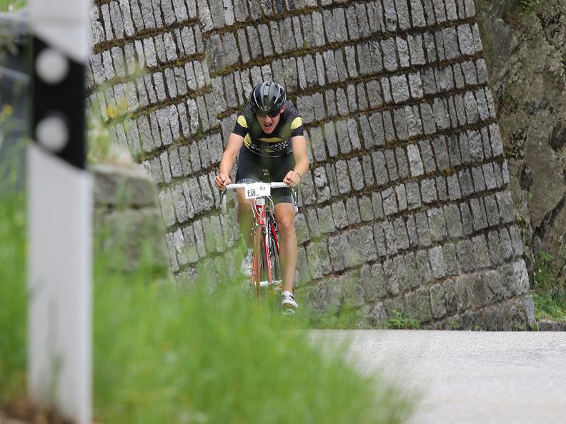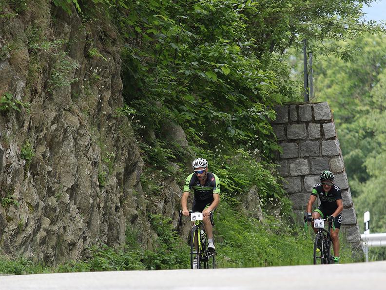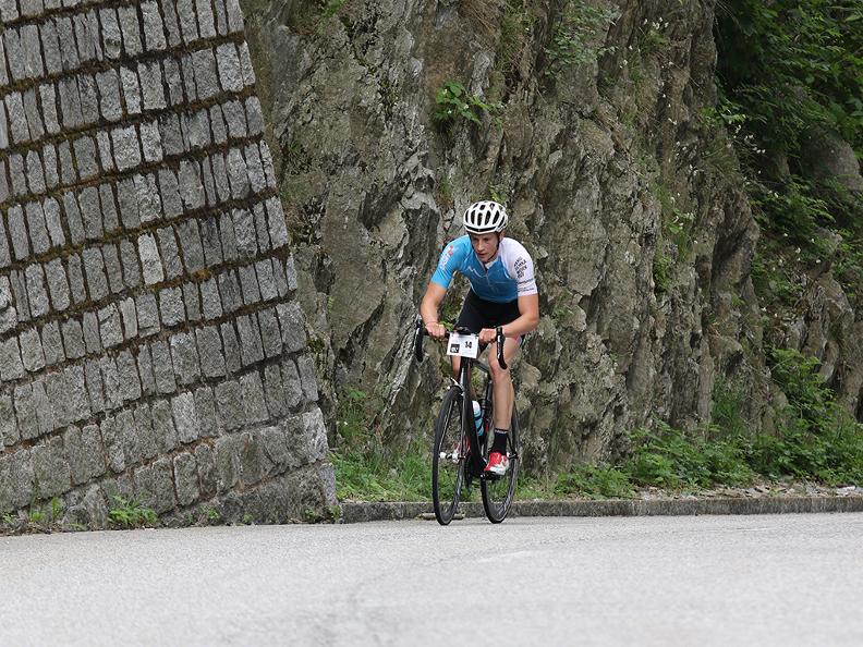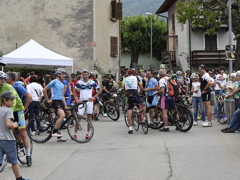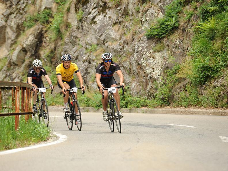
This route starts at the municipality of Giubiasco (244 m above sea level), on the cantonal road which climbs from Piazza Grande, one of the widest places of the Canton (church of Virgin Maria), in the Valley Morobbia.
The road climbs the wineyard up which brings you to Lôro and to Pianezzo, seat of the rediscovery of a gallo-roman nekropolis and of the church of the saints Giacomo and Filippo.
Leaving Pianezzo the road continue in direction of Vellano, the first of five districts of the comunity of S. Antonio.
After Pianezzo and befor Vellano, keep right and avoid the two junctions to Paudo.
Little after Vellano you arrive at Carmena, seat of the Community and of the church of S. Antonio. Further on, crossing the valley of Melirolo, you join Melera and at last Carena (958 m above sea level), the aim of the trail, which is a little befor the oratorio of San Bernardino.
On the way back we advice you to make a detour to Paudo, a nice village embeded on a panoramic terrace.
After Carena the path leads to the archeological zone of the antic oven and chamber of smiths (maglio) (activated at the end of the 17.th century), which is on the «trail of iron», a crossing the border theme trail (see website). From Maglio you arrive at Alpe del Giumello (1594 m above sea level) and than the pass San Jorio (2012 m above sea level) or the Bocchetta di Sommafiume (1925 m above sea level).
Tips
This itinerary is open to traffic, please respect the road safety rules.
Alternative routes
-
