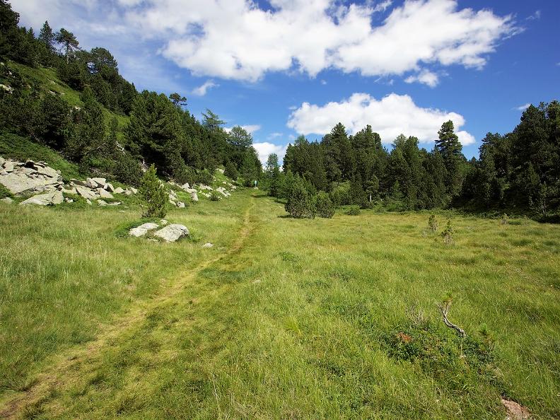
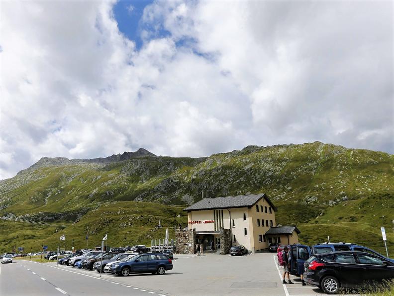
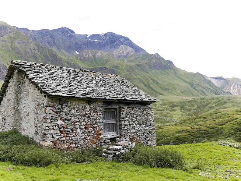
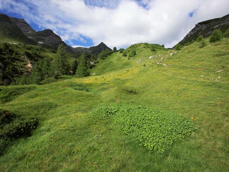
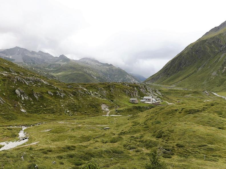
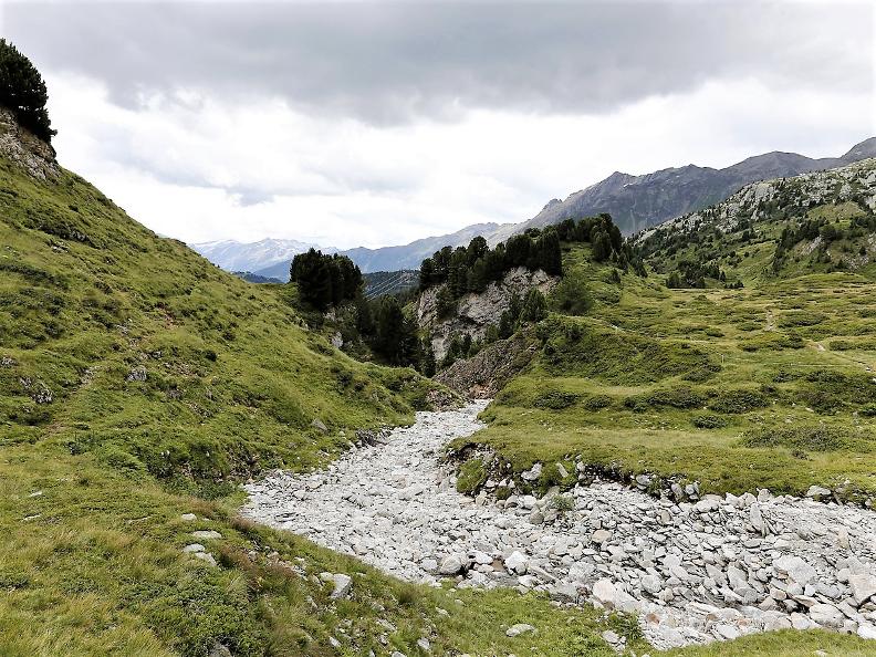
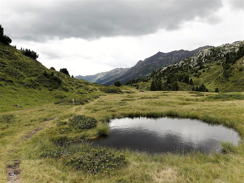
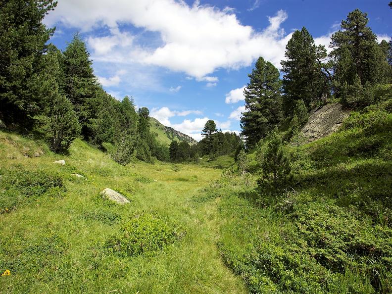
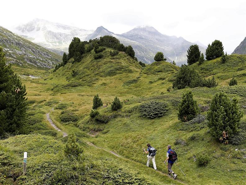
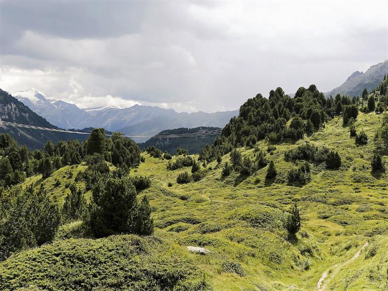
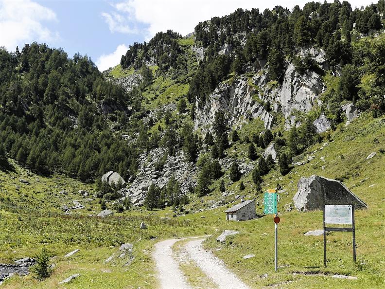
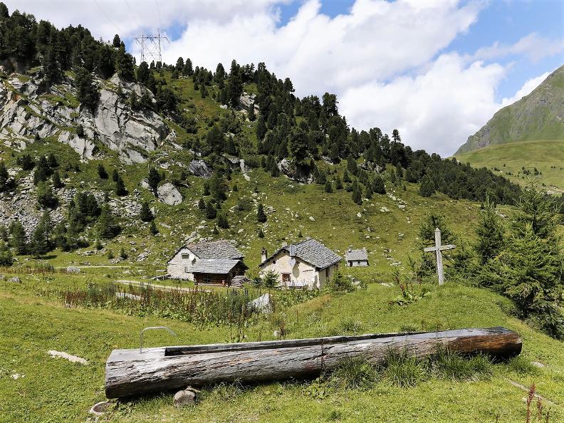
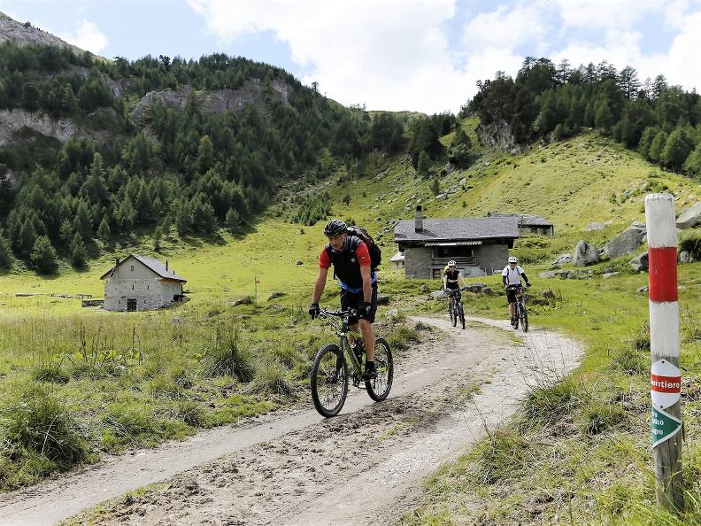
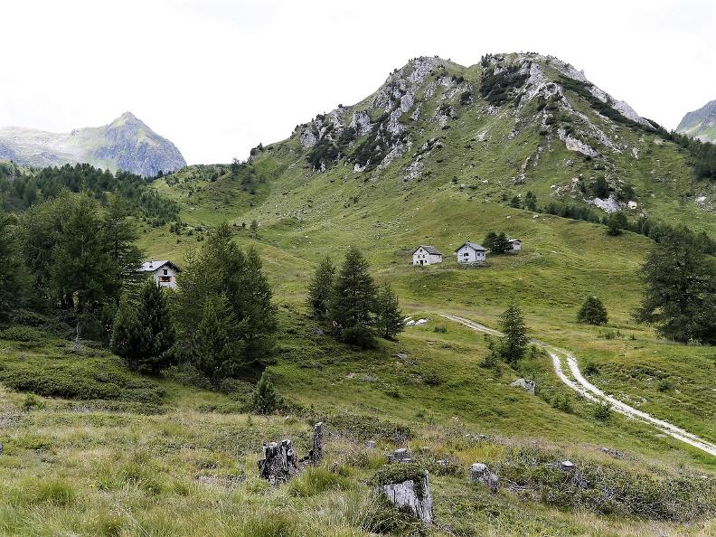
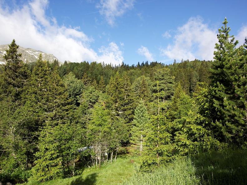
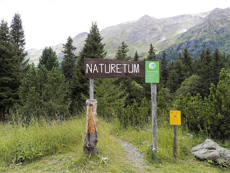
This area was once covered by the Lucus Magnus woods, the great sacred forest. Today, instead, it appears as a splendid mosaic of picturesque landscapes, made up of pastures, alpages and forests. Against this stunning backdrop, the “cheese trail” unwinds. Through the alpages, stone roofs, granite fountains and dairies you can enjoy a reinvigorating excursion set in an unspoilt natural landscape.
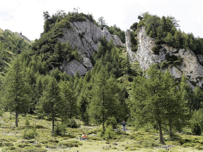
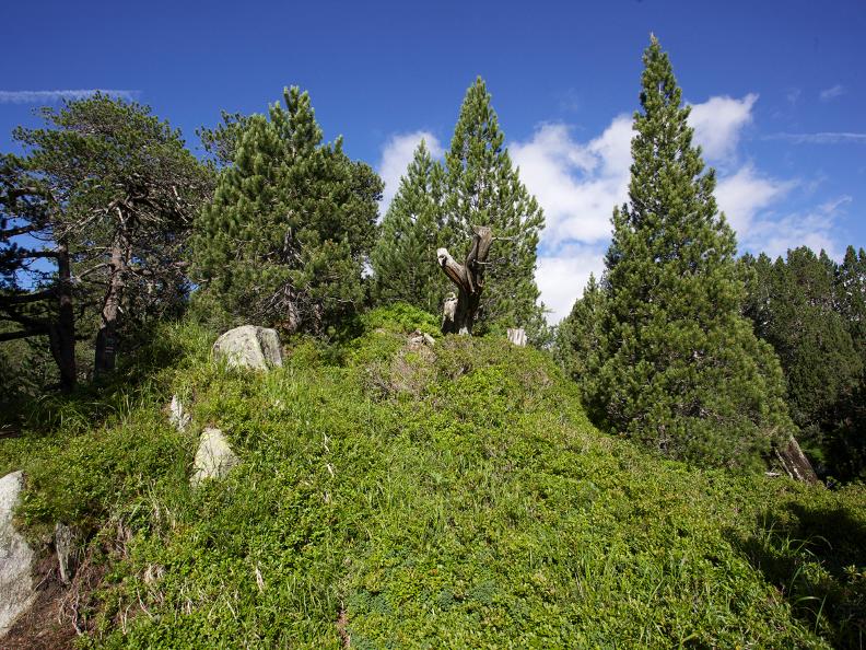
The cheese trail is an itinerary which starts on top of the Lukmanier Pass. While its name hints at the presence of a large or sacred forest (lucus), the wide open clearings of today beg the question: where are the trees? The answer is that around the year 1000AD, the forest was cut down to create pasture, where the alpages were then established. The path itself, which fortunately is not particularly challenging physically, reaches, in succession, the Croce, Pertusio (a panoramic viewpoint), Casaccia, Gana, Campo Solario and Stabbio Nuovo alpages. You can then take a little time to explore the Selvasecca forest of Swiss pines, the largest Swiss pine forest south of the Alps, before arriving at the alpage of Pian Segno.
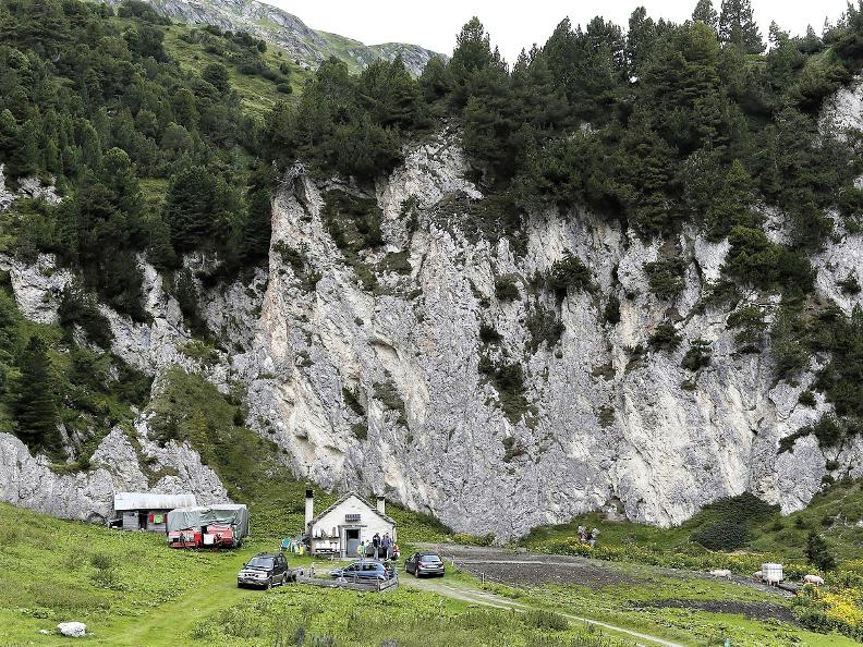
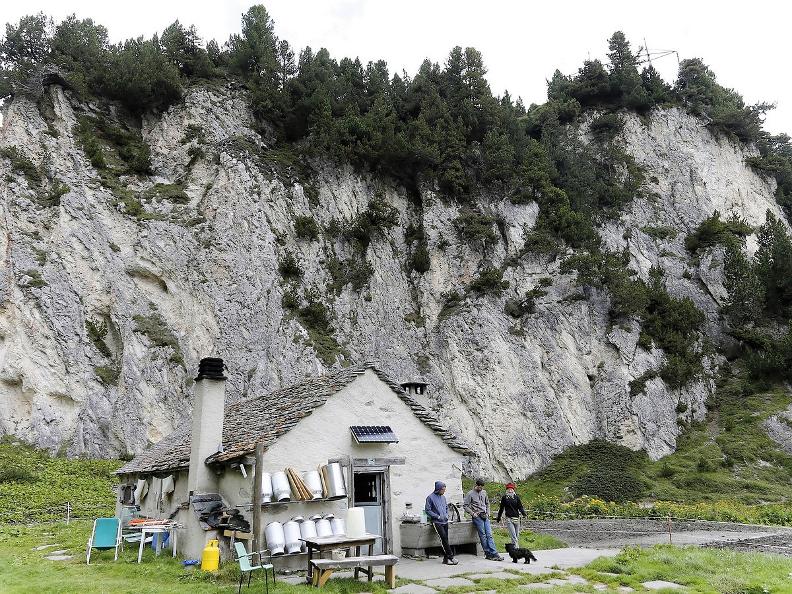
Along the way, in addition to the traditional alpages of the region, you'll be enchanted by the granite-roofed buildings, traditional fountains, the mobile miling wagons, the towering limestone hills which hide the source of the Brenno river, and the many dairies where there is a great choice of traditional produce. The excursion ends in Acquacalda, where you can return to the start point by bus. Here you find the Lukmanier Centro Pro Natura, a location which is renowned for the study and contemplation of alpine nature and the ideal place to enjoy a reinvigorating break. The pass itself is easily reached from Biasca by bus (Autolinee Bleniesi).
Tips
To explore the route, we recommend buying the official maps of the Federal Office of Topography Swisstopo. In addition, the following website map.geo.admin.ch offers constantly updated data.
- Hiking boots
- Sun cap
- Water-bottle
- Sunglasses
- Sun cream
- Hiking map
- Camera
- Food
Montagnepulite: This project was born to promote an effective management and sustainable use of mountain huts in Ticino, and in particular the litter management. The responsible management of litter in the mountains is a matter of common sense. We can all contribute: https://www.montagnepulite.ch/en/golden-rules
Alternative routes
This variation offers the possibility, after crossing Campo Solario, of going down along the river to first reach Stabbio Vecchio and then Alpe Pian Segno, which is considered the most important alpage of the region.
