The whole trail from Biasca to Disentis is 59 km long and the elevation difference is 1750 m. Vice-versa from Disentis to Biasca the elevation difference is 950 m only.
The itinerary can be booked online at the following web site:
www.swisstrails.ch
The route comprises 2 sections, which are also ideal for day excursions.
Stage 1: Biasca - Olivone (Camperio)
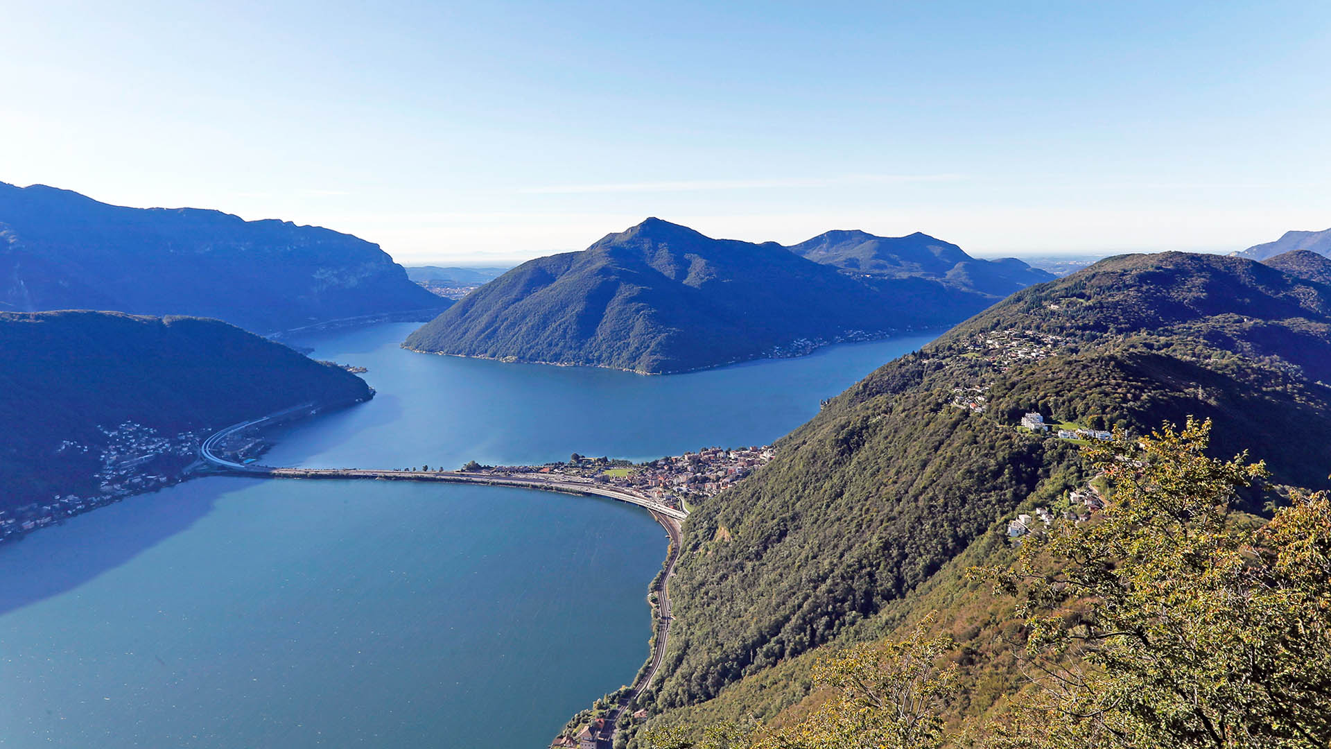
At Biasca half the delta is marked by construction work for the Alpine transit route. In the sunny Valle di Blenio the route climbs through centuries-old cultivated landscape, scented flower-filled meadows and terraced walls, with views of snowy summits.
Distance: 24 km
Elevation difference: 780 m
Length 3 hours
Highest altitude: 1244
Region: Riviera and Blenio
Stage 2: Olivone (Camperio) - Disentis
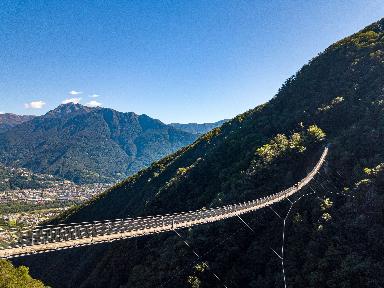
On the traffic-free old road towards Passo del Lucomagno, from Mother Nature’s parklands up to the rugged pass head, boundary between the Ticino and Graubünden. Descent through the Val Medel and Höllenschlucht (gorge) to the monastery village of Disentis.
Distance: 35 km
Elevation difference: 950 m
Length 4 hours
Highest altitude: 1915
Region: Blenio (Lukmanier)